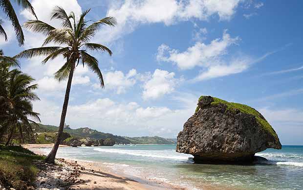
Barbados is a coral limestone island and does not have large rivers like many other Caribbean or mainland countries. However, it does have a few small streams and gullies that serve important roles in drainage, agriculture, and ecosystem support.
Key Waterways & Gullies in Barbados
1. Constitution River (The Careenage) – Bridgetown
- Located in the capital city.
- A small tidal waterway that flows into the Carlisle Bay.
- Once used for docking small boats—now more of a scenic feature.
2. Indian River
- A small seasonal river located near St. Michael.
- Mainly visible during heavy rainfall.
3. Bruce Vale River
- Located in St. Andrew, one of the more rugged and hilly parts of the island.
- A natural stream in a lush gully area.
Important Gullies (Dry Riverbeds or Ravines)
These are often dry or carry water only during heavy rain, but they are ecologically vital:
- Jack-in-the-Box Gully
- Turner’s Hall Woods Gully
- Joe’s River Gully – Located in Bathsheba, St. Joseph; rich in tropical flora and birdlife.
Water Resource Note:
- Due to the lack of large rivers, Barbados relies heavily on:
- Underground aquifers for freshwater
- Rainwater harvesting
- Desalination plants to supplement water supply


