


Natural Disasters in Honduras
Honduras is highly vulnerable to tropical storms, hurricanes, floods, landslides, and occasional earthquakes due to its geographic location in Central America and its long Caribbean coastline.
1. Hurricanes & Tropical Storms
- Most frequent and destructive hazard in Honduras
- Hurricane season: June to November (peak in September–October)
- Notable storms:
- Hurricane Mitch (1998) – one of the deadliest in Central American history, causing massive flooding and landslides, killing thousands.
- Hurricanes Eta & Iota (2020) – struck within two weeks of each other, causing widespread flooding and displacement.
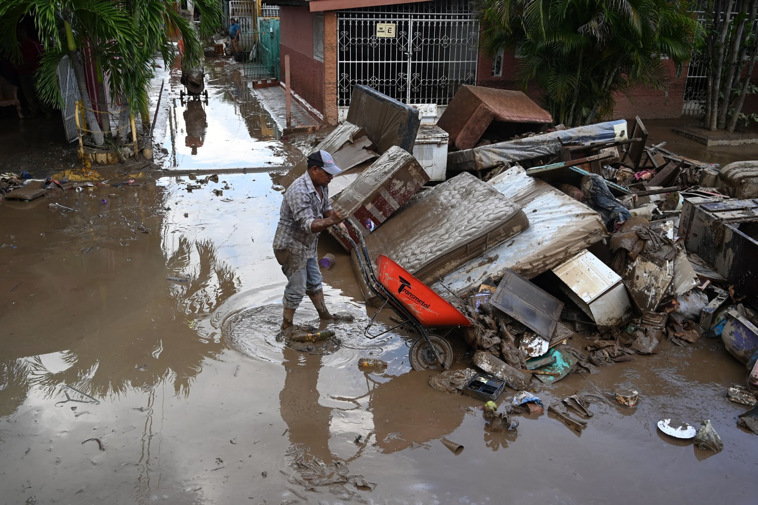
2. Flooding
- Heavy rains during the wet season often cause river overflow
- Low-lying coastal areas and river valleys (e.g., Sula Valley) are most affected
- Flooding can damage crops, homes, and infrastructure
3. Landslides
- Common in mountainous regions during heavy rains
- Often triggered by hurricanes or prolonged storms
- Can block roads and isolate communities
4. Earthquakes
- Honduras lies near the Motagua Fault and Caribbean tectonic plate boundaries
- Earthquakes are usually moderate but can damage poorly built structures
- Most active in the northern and western regions
5. Drought & Wildfires
- Periodic droughts in the southern “dry corridor” affect agriculture
- Forest fires occur during dry season (February–May), often human-caused


